Technical categories |
|
|
Distance |
18.3 km |
|
Ascent |
1,562 m |
|
Maximum height |
1,880 m |
|
km effort |
33.9 |
|
Level of difficulty |
medium |
|
ITRA points |
1 |
Running times |
|
|
Elite |
01:52 |
|
Expert |
02:20 |
|
Advanced |
02:56 |
|
Intermediate |
03:40 |
|
Beginner |
04:24 |
Course description |
|
|
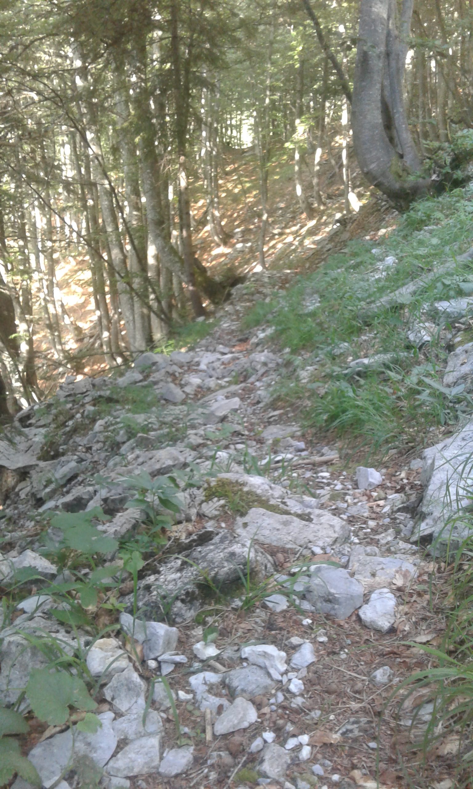
Route |
Start at the Waldbad Mauthen (ÖAV center) in the direction of Valentinbach. Cross the wooden bridge and then head uphill towards the Missoria-Alm. Then always follow the ÖAV signs to “Würmlacher Polinik”. After about 8.7 km at the summit, run over the Würmlacher Alpl (attention: steep descent!) through the Grießbachgraben in the direction of Dolling (about 5 km). From there, run first to the west in the direction of Missoria-Alm and then at the end to the north back to the starting point (approx. 4 km). |
|
Possible variants |
1) Once you reach the summit, you can also run back the same way. 2) After the descent via the Würmlacher Alpl and after the Grießbachgraben, you can also run back to Würmlach and via the main road, or via one of the field paths, to the starting point. |
|
Recommended months |
In winters with little snow March to October, otherwise April to October |
|
Suitable for dogs |
Please direct your enquiries to the tourist information office of the market town of Kötschach-Mauthen. |
|
Go and visit |
· Waldbad Mauthen (ÖAV Center) · Museum of the 1st World War in the Town Hall · Aquarena Kötschach-Mauthen · Roman stone and Roman spring |
|
Useful information |
— |
|
Additional information |
|